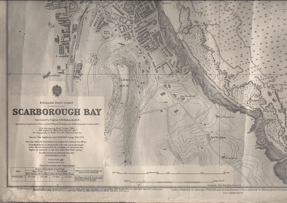
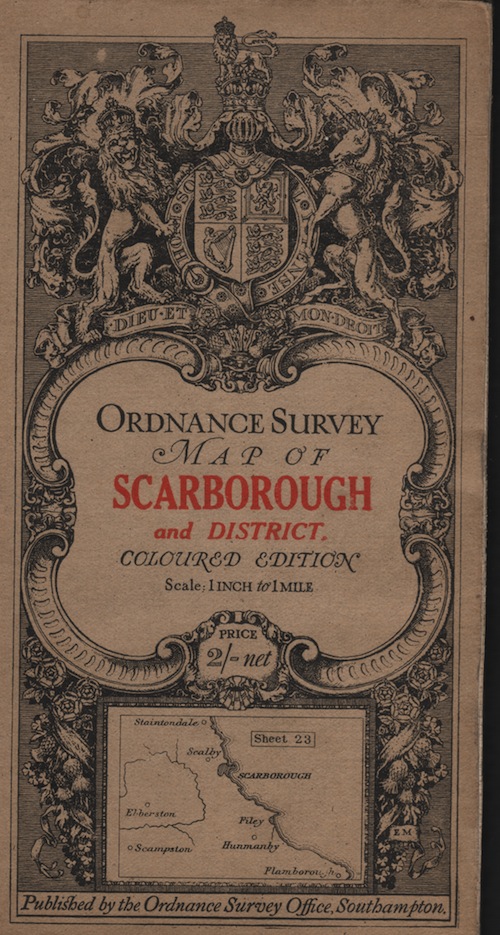
The Maritime Centre has a varied collection of maps and charts donated to the charity over the years, relating to both Scarborough and elsewhere.
CHARTS

There are three main types of charts: Admiralty charts, published by the UK Hydrographic Office, yachting charts from publishers such as Imray, Laurie, Norie & Wilson and Edward Stanfords, and fishing charts, especially for the Decca Navigator system.
They are mostly out-of-date, but still of interest. For example, some older charts show areas mined, or restricted fishing areas, due to the two world wars. There are two fishing charts of Iceland dating from around the time of the "Cod War" of the 1970's. There are also some unusual items, such as a map of the Ravensburn Gas and Oil Development in the North Sea, and a set of cruising guides published by Esso Petroleum. There are also four original charts held by the boats M.V. Coronia and S/T Beru.
MAPS

A wide range of historic maps and plans can be found in Scarborough Public Library's local studies collection; SMHC also has a number of interesting maps and plans donated to the Centre. There are Ordnance Survey maps of all types, including facsimiles of the first Ordnance Survey maps of the eastern Yorkshire area and a set of geological maps. We also have some reproductions of antique Yorkshire maps by mapmakers such as John Speed and Emmanuel Bowen. There are (poor quality) copies of John Wood's 1828 Plan of the town and environs of Scarborough, as well as the 1824 print of a 1538 illustration from the British Museum, the earliest known repesentation of Scarborough. We also have a copy of Francis Drakes's 1745 map of the Roman roads of Yorkshire.